| Home | | | Back |
| NCS Guam photos from 1968-1969 |
| Images from Roger Cole |
|
Please scroll-down for full collection. Click-on each small photo to enlarge. |
|
|
|
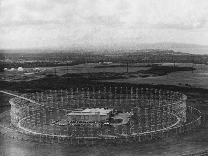
Photo of the antenna array and building where most of the CT's worked. |
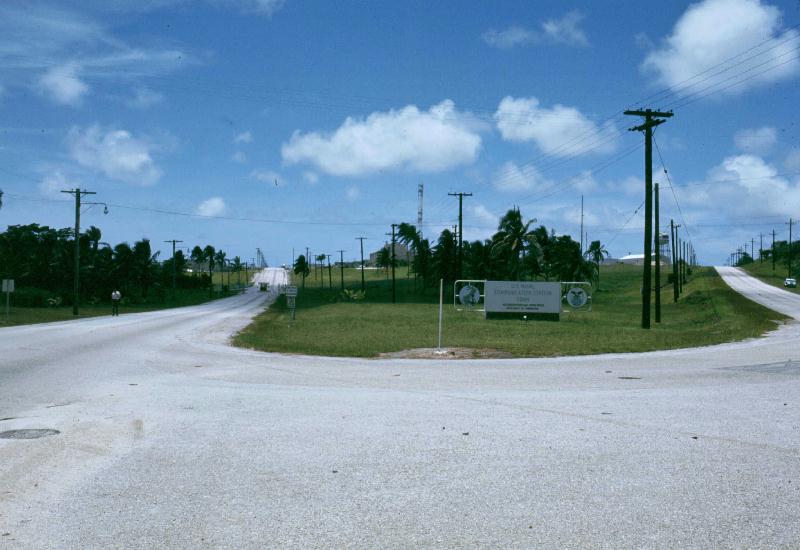
Entrance to NCS on left, road to Anderson AFB on right. |
 |
 |
|
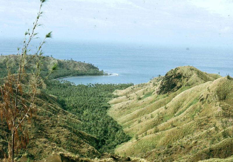
Scenes around the island in early 1968, just after I bought my Honda CL160 scrambler and finally had wheels to see the sights. |
 |
 |
|
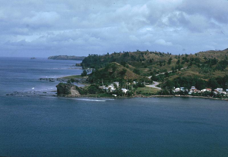
The town of Umatac. Magellan is said to have landed here on his around-the-world voyage. |
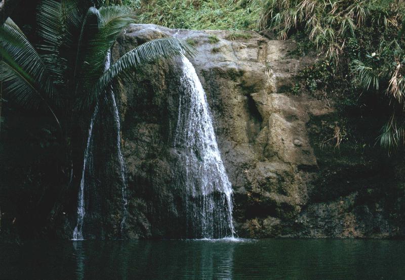
The Bali Hai Swimming Hole. |
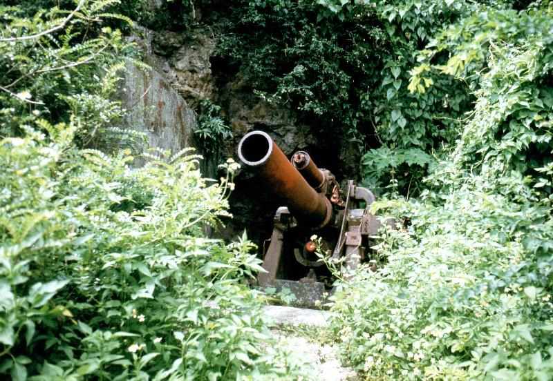 |
| Gun Beach and a left-over Japanese artillary piece. |
 |
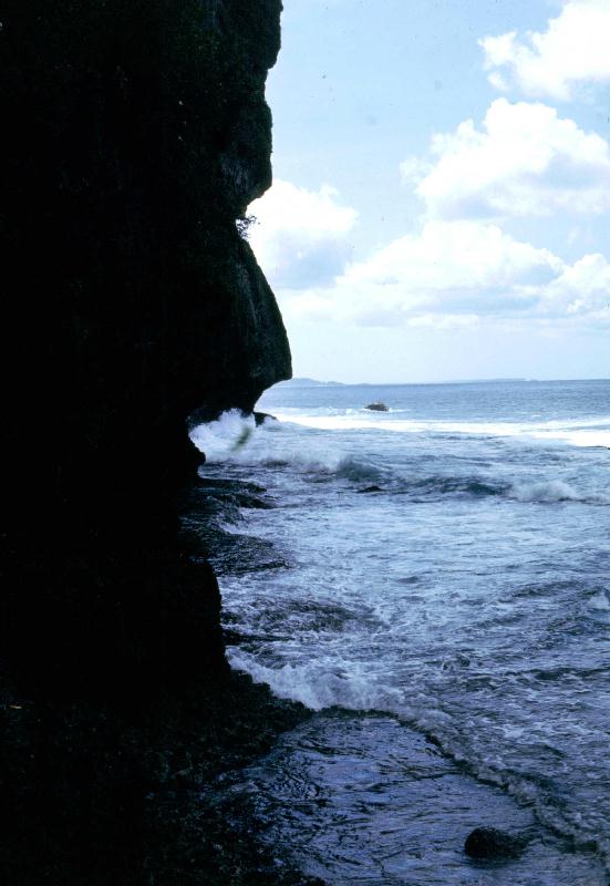 |
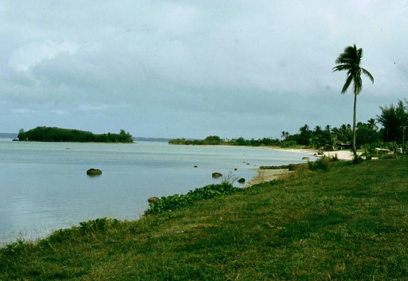
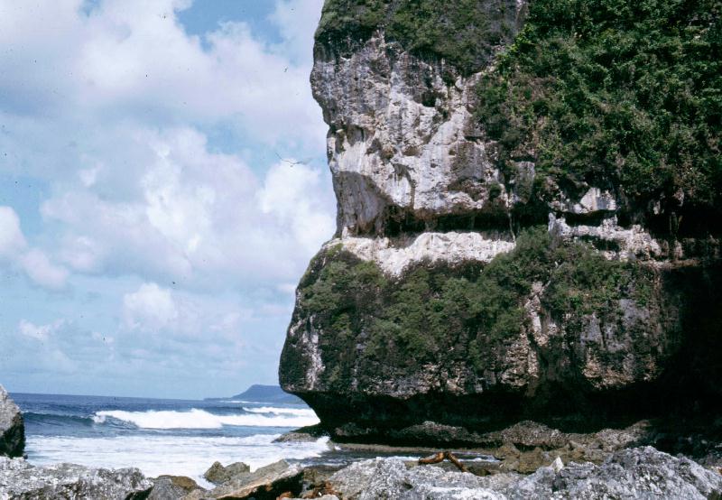
| Taken at and near NCS beach. You had to catch the tides right to walk around the base of the cliffs. |
 |
 |
| Taken at and near NCS beach. You had to catch the tides right to walk around the base of the cliffs. |
 |
 |
|
KC130 (or is it a KC135) tanker. B52s and their tankers were constantly taking off from Anderson over NCS on their way to Vietnam for bombing runs. |
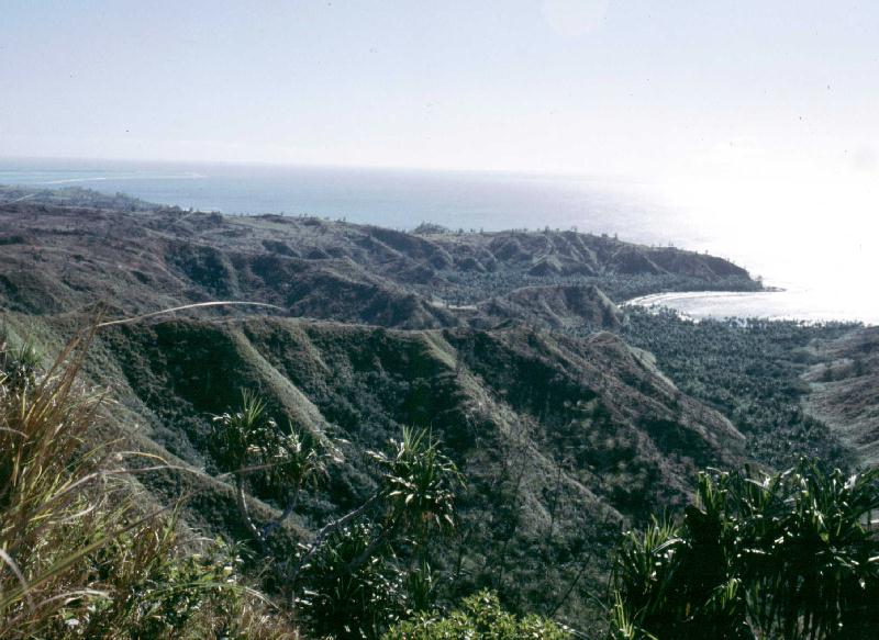
A view from an overlook above Agana. |
 |
 |
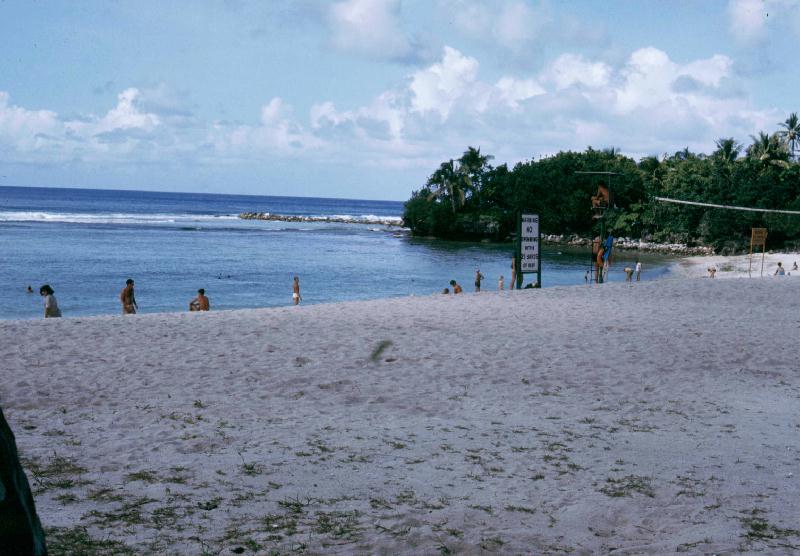
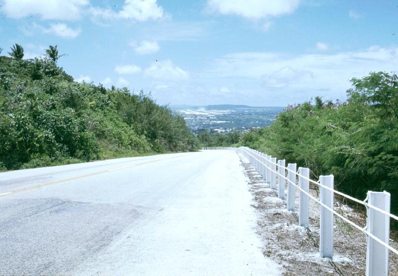
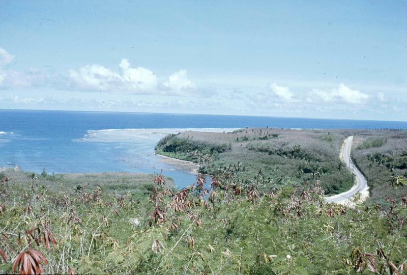
| Another scenic view of the island. | View of the road leading to NCS beach. |
 |
 |
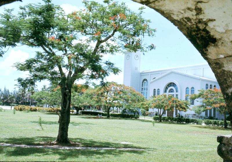
| View of a Catholic Church. | Road leading to/from old Naval Air Station. |
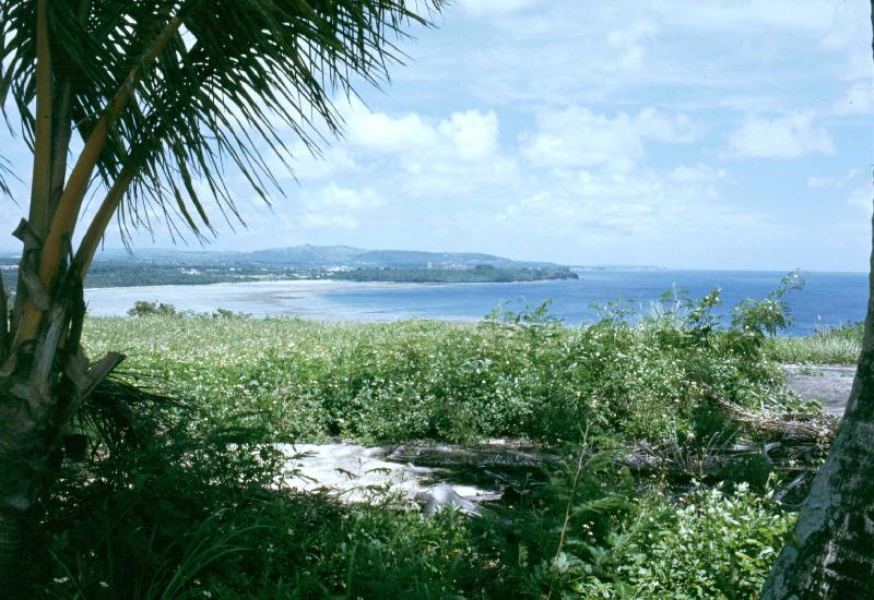 |
| View from abandoned air field. |
 |
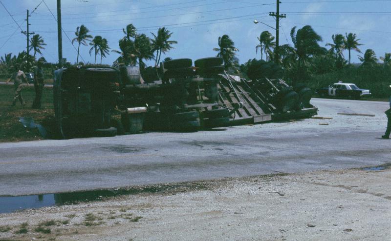 |
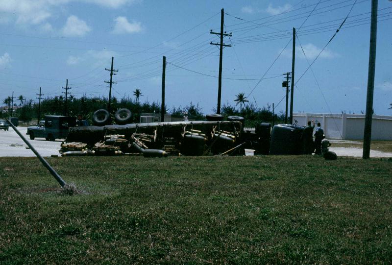
| A load of bombs bound for Anderson overturned at the NCS entrance in early 1969. Luckily, they weren't armed. |
 |
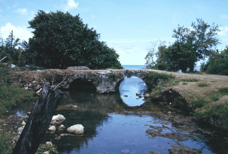 |
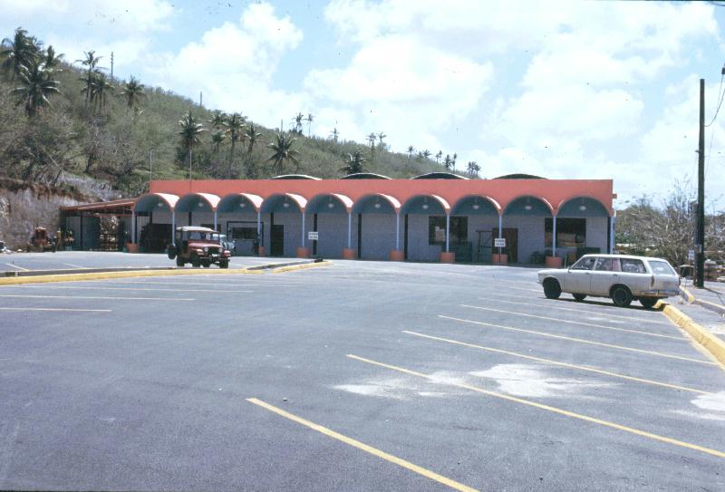
| The new million-dollar-plus cockfighting arena. | An old Spanish bridge. |
 |
 |
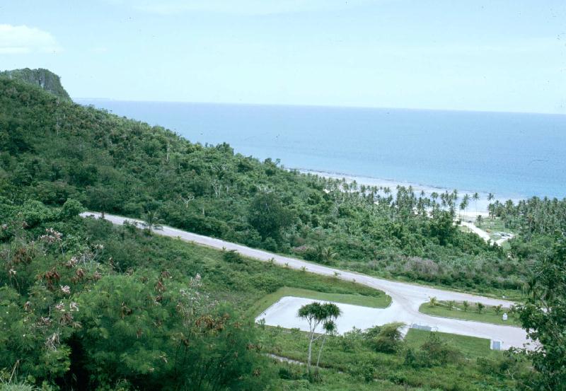
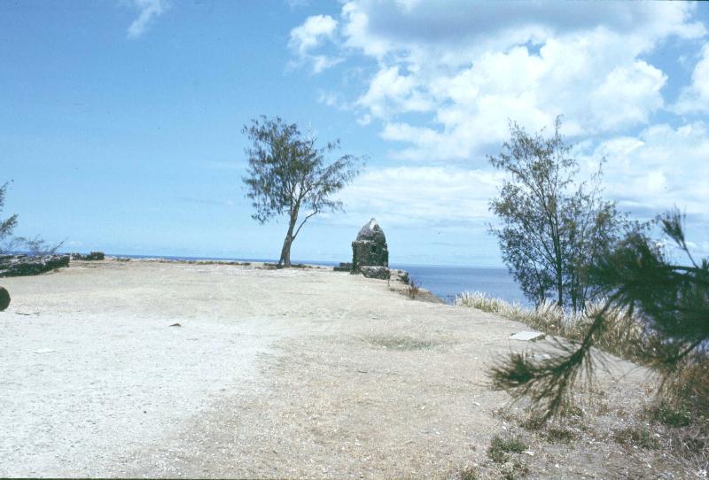
| The high vantage point overlooking Umatac and the Japanese guard shack that was still there in '69. It also reeked of urine. | Another scenic shot. |
| Home | | | Back |